File:Map MercyIsland (old).jpg
Jump to navigation
Jump to search
.jpg)
.jpg&diff=prev&oldid=211473)
.jpg&direction=prev&oldid=211473)
.jpg&diff=cur&oldid=211473)
.jpg&direction=next&oldid=211473)
.jpg&diff=next&oldid=211473)
No higher resolution available.
Map_MercyIsland_(old).jpg (500 × 500 pixels, file size: 125 KB, MIME type: image/jpeg)
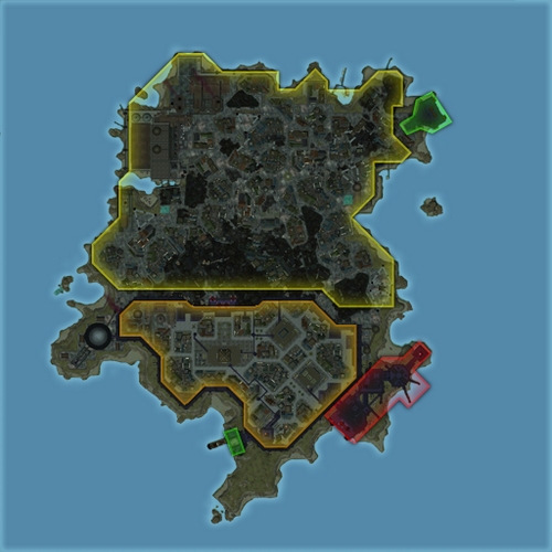
Map of Mercy Island
File history
Click on a date/time to view the file as it appeared at that time.
| Date/Time | Thumbnail | Dimensions | User | Comment | |
|---|---|---|---|---|---|
| current | 00:00, 8 May 2020 | | 500 × 500 (125 KB) | Maintenance script (historical) (talk) |
You cannot overwrite this file.
File usage
The following page uses this file:
.jpg&oldid=211473)